Brian Park
My name is Brian Park, and I specialize in drone-based environmental inspection and monitoring. With a background in environmental science and geospatial technologies, I became deeply interested in how unmanned aerial systems (UAS) can enhance the efficiency and accuracy of environmental assessments. The traditional methods of field inspection are often time-consuming, labor-intensive, and limited in spatial coverage. My motivation lies in leveraging drone technology to transform how we detect, assess, and respond to environmental risks—more rapidly, safely, and comprehensively.
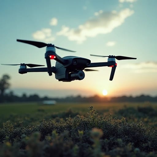
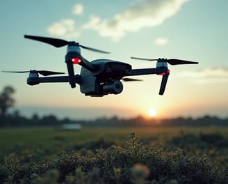
In my current role, I deploy and operate drones equipped with high-resolution cameras, LiDAR, and multispectral sensors to monitor landfills, illegal dumping sites, forest health, water pollution, and coastal erosion. I design customized flight paths, conduct data collection and post-processing, and integrate results into GIS platforms for analysis and reporting. I also collaborate with environmental agencies to automate routine patrols and enable real-time alerts for environmental violations. My work combines drone piloting expertise with data analytics to deliver actionable insights for regulators, policymakers, and conservation teams.
I believe drone-enabled inspection is a game changer for environmental management. It dramatically reduces monitoring costs while expanding geographic reach and data frequency. By using drones to capture aerial evidence and perform early detection of ecological degradation, we can improve enforcement, support preventive measures, and ultimately protect ecosystems more effectively. My vision is to help build a next-generation environmental monitoring system that is smarter, faster, and more transparent—empowering both institutions and communities to act with real-time information.
As a drone operator and environmental technologist, my mission is to bridge innovation with environmental responsibility. I am currently developing workflows that integrate AI-driven image recognition for faster anomaly detection and automatic classification of environmental hazards. In the future, I aim to support the deployment of large-scale autonomous drone networks for continuous environmental surveillance, particularly in remote or high-risk areas. I believe that technology, when used ethically and intelligently, can serve as a powerful ally in the global effort to safeguard our planet.
This study will adopt a hybrid design combining geospatial data analysis, mission language modeling, and regulatory text processing. First, drone-collected aerial images, GPS flight logs, and thermal/gas sensor readings will be tagged with environmental violation categories (e.g., open burning, unauthorized landfill). Second, GPT-4 will be fine-tuned using flight regulations, environmental inspection guides, and pollution reporting templates. Using OpenAI’s API, an assistant will be developed to help environmental officers input mission objectives and receive: (a) optimized patrol routes, (b) expected violation indicators to track, and (c) documentation support. Human-in-the-loop evaluation will validate outputs using real case studies and expert feedback from regulatory agencies.


Ecodrone Patrol transformed our environmental monitoring with optimized routes and clear documentation. The AI assistant is a game-changer for our compliance efforts.


★★★★★